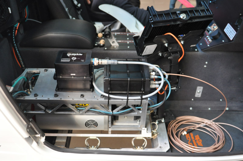
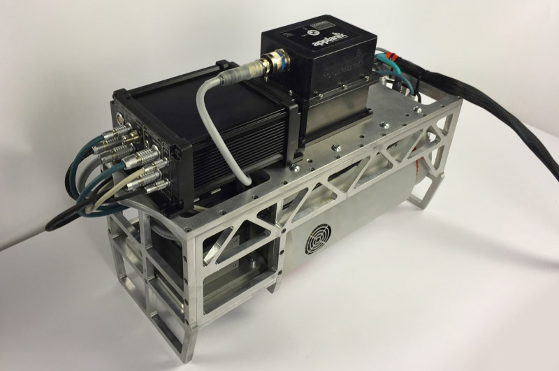
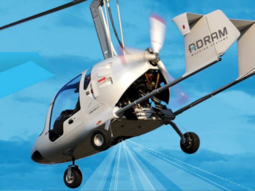
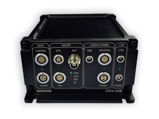
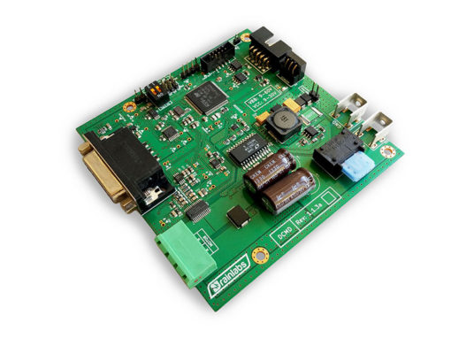
Airborne Mapping System
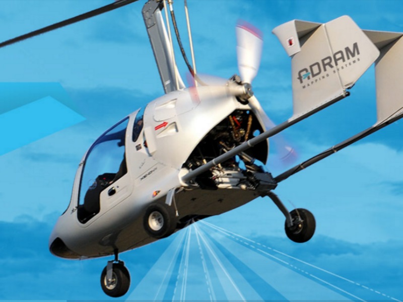
AMS584 Airborne Mapping System is a complete solution dedicated to autogyros used to take aerial photographs and spatial scanning. The costs of investment, maintenance and exploitation are significantly lower for an autogyro than an airplane or helicopter.
The system was designed to be operated by a single person. The ANS (Airborne Navigation System) software monitors and manages the operation of all devices. Simultaneously, information related to the mission and navigation is transparently presented to the pilot. The required amount of the pilot’s attention is lowered to a minimum due to full automation of the system, which allows the pilot to focus on flying and safely perform all maneuvers.
Get additional information on the official project website.


OUR CASE STUDIES


Free Consultation
If you:
- Have a problem and don’t know how to solve it
- Have an idea and need a technical advice
- Don’t know how to kick-off your project
- Wonder if IoT and new technologies can help your business
- Want to upgrade your products
- Are not satisfied with off-the-shelf solutions because don’t meet your requirements
- Have any other question and suspect that we know the answer
Please fill out the form and we will contact you to schedule a consultation.
The consultation is free of charge, no strings attached.
By submitting your data, you agree to the Privacy Policy of Rainlabs Services.
+48 512 094 494
Jakub Tutro
Rainlabs S.C.
Rainlabs Services Sp. z o.o.
Rainlabs Services Spółka z ograniczoną odpowiedzialnością z siedzibą w Krakowie, ul. Jana Zamoyskiego 24, 30-519 Kraków, wpisana do rejestru przedsiębiorców Krajowego Rejestru Sądowego prowadzonego przez Sąd Rejonowy dla Krakowa-Śródmieścia w Krakowie, XI Wydział Gospodarczy Krajowego Rejestru Sądowego pod numerem KRS 0000908997, NIP 6793219474, kapitał zakładowy w wysokości 100 000 złotych (wpłacony w całości).